
Go Further, Stay Connected: Satellite Messengers and PLBs for Remote Adventures
In this guide, we dive into Emergency Communication Essentials: Satellite Messengers and PLBs for Remote Trips, showing how to prepare, choose, and use life-saving tools when trails fade and cell bars vanish. You will learn practical steps for setup, registration, field technique, and decision-making under pressure, reinforced by real stories and lessons from rescues. Pack confidence, not guesswork, and leave a clear plan that keeps loved ones informed while you explore responsibly.

PLB Fundamentals: Government-Backed Reliability
Personal Locator Beacons transmit a powerful 406 MHz distress signal identifiable to your registration, often paired with GPS coordinates and a 121.5 MHz homing tone for final approach. They require no subscription, must be registered, and are built to stringent standards for battery life and durability. With COSPAS–SARSAT and MEOSAR satellites, detection is rapid and global, but remember: these devices are strictly for emergencies, and false activations waste resources and endanger others.
Satellite Messengers: Two-Way Communication and Context
Satellite messengers allow check-ins, tracking, and interactive SOS via private coordination centers, providing rescuers with vital context—injury details, group size, shelter, and evolving conditions. Two-way messaging guides decisions, reduces panic, and helps you adjust routes when hazards arise. Subscriptions, network coverage, and battery management matter, especially on long trips. Their greatest strength is real-time dialogue, turning a lonely emergency into a coordinated, informed response with options rather than guesses.
Coverage, Latency, and Line of Sight Explained

Satellites need a clear view of the sky. Dense foliage, slot canyons, and steep valleys can increase message latency or cause failures. PLBs benefit from powerful signals and worldwide monitoring, while messenger performance varies by constellation and geometry. Modern MEOSAR improves detection and location speed for 406 MHz beacons. Practice moving to open ground, repositioning the antenna, and patiently retrying. Understanding these limits prevents misinterpretation of delays and keeps your decision-making calm, deliberate, and effective.
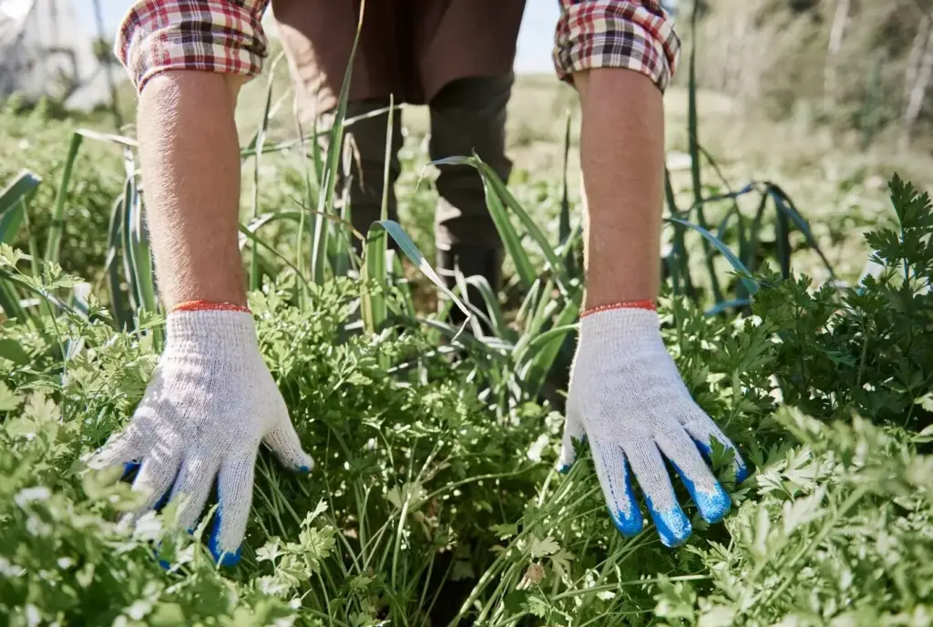
Choose With Purpose: Matching Device to Trip, Team, and Terrain
There is no universal best device; there is a best fit for your journey. Consider trip length, remoteness, group size, weather, budget, and your need for two-way communication. PLBs excel in pure emergency reliability with minimal upkeep, while messengers shine in ongoing updates and remote coordination. Evaluate power sources, weight, operating temperatures, water exposure, and user interface. The right choice balances risk, accountability, and comfort for both you and the people waiting at home.
Before You Go: Registration, Setup, and Communication Plans
Preparation converts equipment into a system that rescuers can quickly interpret. Register your PLB so authorities know who you are, where you might be, and whom to call. Configure messenger contacts, preset messages, and map-sharing links. Establish escalation rules with your check-in partner, define time windows, and agree on what triggers a call to authorities. Test responsibly, update firmware, pack spares, and document the plan inside your first-aid kit so everyone can execute it under stress.
Placement, Antenna Orientation, and Sky View
Carry the device where you can reach it with either hand, ideally on a shoulder strap or top of the pack. Avoid blocking the antenna with your body, metal, or dense gear. If messages stall, step into a clearing, hold the unit steady, and give transmissions time. Snow pits, slot canyons, and heavy canopy demand patience and small positional adjustments. Practice in your neighborhood so these motions feel automatic rather than improvised under pressure.
When to Press SOS and What Happens Next
Activate SOS for life-threatening emergencies or situations likely to become unmanageable without help. With two-way devices, report injuries, shelter quality, weather exposure, and group condition, then conserve battery and await instructions. With a PLB, prioritize staying visible, warm, and stationary if safe. Expect coordination through authorities or a private center that informs local responders. Keep the device powered, accessible, and with clear sky view so follow-up signals guide rescuers directly to you.
Messaging Etiquette That Calms Everyone
Set predictable check-in times and use concise, informative language. Confirm safe camp, route changes, or delays without dramatizing routine setbacks. Include battery percentage in occasional updates so partners know your communication margin. Avoid constant tracking if it drains power needed for emergencies. Tell contacts that missed messages may reflect terrain or weather, not immediate crisis. Calm, consistent habits build trust and prevent anxious escalations that distract rescuers from genuine emergencies elsewhere.
Field-Proven Lessons: Stories That Change Decisions
Pinned by sudden wind and spindrift, a duo sheltered behind a cornice and activated a PLB after a partner sprained an ankle. The 406 MHz alert, matched to their registration, confirmed identities and route plan. By dawn, responders homed in on 121.5 MHz, landing close enough to minimize hypothermia risk. Their reflections afterward were simple: registering details, rehearsing activation steps, and keeping the beacon on a harness strap turned a bleak scenario into a survivable one.
A solo hiker received a weather update predicting overnight flooding in a narrow canyon. Using two-way messages, a support friend shared satellite imagery and suggested an alternate ridge traverse, including a dry camp location. The hiker checked in at the new site with strong sky view and conserved battery by disabling tracking overnight. The flood arrived hours later, safely below. The lesson was clear: dialogue and timely information can prevent emergencies before they demand rescue resources.
An accidental SOS, triggered during a backpack shuffle, launched responders into rough weather for no real emergency. The group received a stern briefing and a fine. A simple lock screen, protective holster, and better preset messages would have prevented panic and resource diversion. Respect the system, train your partners, and understand your device’s safeguards. Every unnecessary activation steals attention from someone truly in danger and risks responders’ safety for avoidable reasons.
Beyond SOS: Navigation, Weather, and System Integration
Modern devices do more than summon help. Many pair with maps, wearables, and dashboards for breadcrumb trails, waypoints, and shared tracking pages. Some fetch weather forecasts to guide route timing and camp choices. Others interface with marine or amateur radio systems for layered redundancy. These extras are not replacements for foundational safety, but they improve decision quality. Thoughtful integration ensures each tool supports the next, creating resilience instead of fragile dependence on a single feature.
Checklists, Training, and Community Support
Reliable emergency communication is a practice, not a purchase. Build checklists you will actually use, run scenarios with your partners, and refresh skills each season. Share lessons with your local clubs and learn from theirs. The more we normalize preparation, the fewer panicked scrambles we face as responders or companions. Engage, ask questions, and help refine best practices so every trip sends you farther into wonder without leaving common sense behind on the trailhead pavement.
All Rights Reserved.